Bear Mountain / Sages Ravine
Location
Map Legend

Icons on the map can be clicked to get directions on Google Maps (works best for Parking Icons).
Get the Map
This property is in NQTA Map #9. You can purchase NQTA Map Sets in our Shop.
Directions
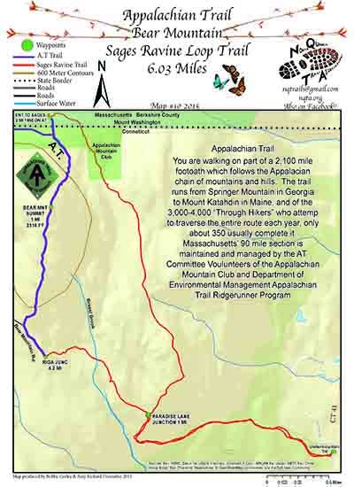
Bear Mountain is located in Salisbury in scenic northwestern Connecticut.
Undermountain Trail parking lot:
From the north:
Mark odometer at junction of Rt. 23 and Rt. 41
Take Rt. 41 South
9.3 mi. – Undermountain Trail parking lot on right
An easily-missed, small, blue, oval “Undermountain Trail” sign marks the entrance to the parking lot
From the south (Salisbury):
Mark odometer at junction Rt. 44 & Rt. 41 in Salisbury
Take Rt. 41 North
0.8 mi. – pass Appalachian Trail parking lot on left
3.2 mi. – Undermountain Trail parking lot on left
An easily-missed, small, blue, oval “Undermountain Trail” sign marks the entrance
to the parking lot
INFO REFERANCE: Submitted by: Mark, MountainSummits.com, age 31, athletic male.
http://www.mountainsummits.com/pphikes/connecticut/bearpphike.htm
Overview
Bear Mountain (2,316 ft.) is the highest peak in Connecticut. It is not, however, the highest point of land in Connecticut. The highest point is 2,380 feet, found on the south slope of Mt. Frissell whose 2,453 ft. summit lies in Massachusetts. Nonetheless, Bear Mountain maintains its distinction as the highest summit in Connecticut and it offers one of the prettiest vistas in the state. It’s a beautiful hike on the Appalachian Trail south of the summit because you’re hiking on rocks, surrounded by low bushes (including blueberries!), and the view progressively opens up for you. A stone pyramid built in 1885, about 8 feet high with a flat top, sits on the summit and provides a great platform for checking out the panorama. Prominently to the north in Massachusetts are Mts. Race (to the right) and Everett (to the left).
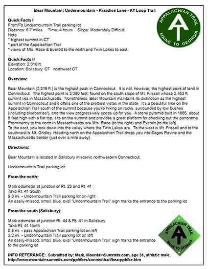
Quick Facts
From / To Undermountain Trail parking lot
Distance: 6.7 miles Time: 4 hours Slope: Moderately Difficult
Elevation: 2,316 ft.
Location: Salisbury, CT northwest CT
Note:
* highest summit in CT
* part of the Appalachian Trail
* views of Mts. Race & Everett to the north and Twin Lakes to east
To the east, you look down into the valley where the Twin Lakes are. To the west is Mt. Frissell and to the southwest is Mt. Gridley. Heading north on the Appalachian Trail drops you into Sages Ravine and the Massachusetts border (just over a mile away).
Longest Walk: 6.7 milesPhoto Gallery