The Nate’s Run – Muddy Pond Laurel Loop Trail
Location
Map Legend

Icons on the map can be clicked to get directions on Google Maps (works best for Parking Icons).
Get the Map
This property is in NQTA Map #6. You can purchase NQTA Map Sets in our Shop.
Directions
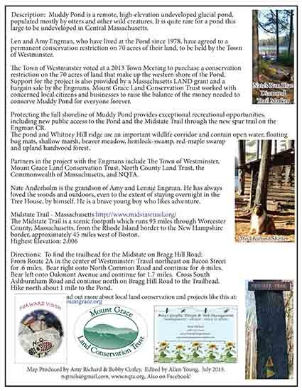
To find the trailhead for the Midstate on Bragg Hill Road:
From Route 2A in the center of Westminster:
Travel northeast on Bacon Street for .6 miles.
Bear right onto North Common Road and continue for .6 miles.
Bear left onto Oakmont Avenue and continue for 1.7 miles.
Cross South Ashburnham Road and continue north on Bragg Hill Road to the Trailhead.
Hike north about 1 mile to the Pond.
Overview
Muddy Pond is a remote, high-elevation undeveloped glacial pond, populated mostly by otters and other wild creatures. It is quite rare for a pond this large to be undeveloped in Central Massachusetts.
Len and Amy Engman, who have lived at the Pond since 1978, have agreed to a permanent conservation restriction on 70 acres of their land, to be held by the Town of Westminster.
The Town of Westminster voted at a 2013 Town Meeting to purchase a conservation restriction on the 70 acres of land that make up the western shore of the Pond. Support for the project is also provided by a Massachusetts LAND grant and a bargain sale by the Engmans. Mount Grace Land Conservation Trust worked with concerned local citizens and businesses to raise the balance of the money needed to conserve Muddy Pond for everyone forever.
Protecting the full shoreline of Muddy Pond provides exceptional recreational opportunities, including new public access to the Pond and the Midstate Trail through the new spur trail on the Engman CR.
The pond and Whitney Hill ridge are an important wildlife corridor and contain open water, floating bog mats, shallow marsh, beaver meadow, hemlock-swamp, red-maple swamp and upland hardwood forest.
Partners in the project with the Engmans include The Town of Westminster, Mount Grace Land Conservation Trust, North County Land Trust, the Commonwealth of Massachusetts, and NQTA.
Nate Anderholm is the grandson of Amy and Lennie Engman. He has always loved the woods and outdoors, even to the extent of staying overnight in the Tree House, by himself. He is a brave young boy who likes adventure.
Midstate Trail – Massachusetts http://www.midstatetrail.org/
The Midstate Trail is a scenic footpath which runs 95 miles through Worcester County, Massachusetts, from the Rhode Island border to the New Hampshire border, approximately 45 miles west of Boston. Highest Elevation: 2,006
Photo Gallery