Wendell State Forest / Ruggles Pond
Location
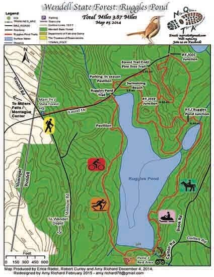
Map Legend
Icons on the map can be clicked to get directions on Google Maps (works best for Parking Icons).
Get the Map
This property is in NQTA Map #4. You can purchase NQTA Map Sets in our Shop.
Directions
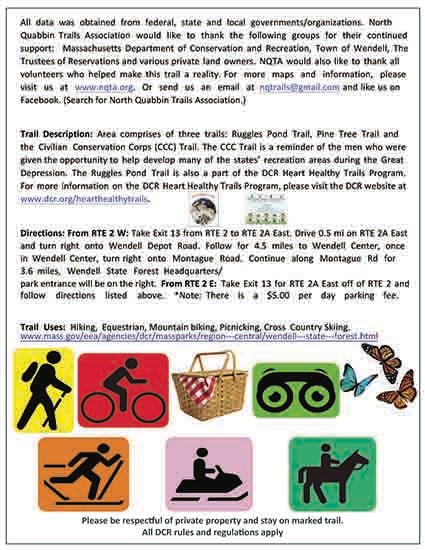
From RTE 2 W: Take Exit 13 from RTE 2 to RTE 2A East. Drive 0.5 mi on RTE 2A East and
turn right onto Wendell Depot Road. Follow for 4.5 miles to Wendell Center, once in Wendell Center, turn right onto Montague Road. Continue along Montague Rd for 3.6 miles, Wendell State Forest Headquarters / park entrance will be on the right.
From RTE 2 E: Take Exit 13 for RTE 2A East off of RTE 2 and follow directions listed above.
Note: There is a $5.00 per day parking fee.
Overview
Area comprises of three trails: Ruggles Pond Trail, Pine Tree Trail and the Civilian Conservation Corps (CCC) Trail. The CCC Trail is a reminder of the men who were given the opportunity to help develop many of the states’ recreation areas during the Great Depression.
The Ruggles Pond Trail is also a part of the DCR Heart Healthy Trails Program.
For more information on the DCR Heart Healthy Trails Program, please visit the DCR website at https://www.mass.gov/service-details/find-a-healthy-heart-trail


